|
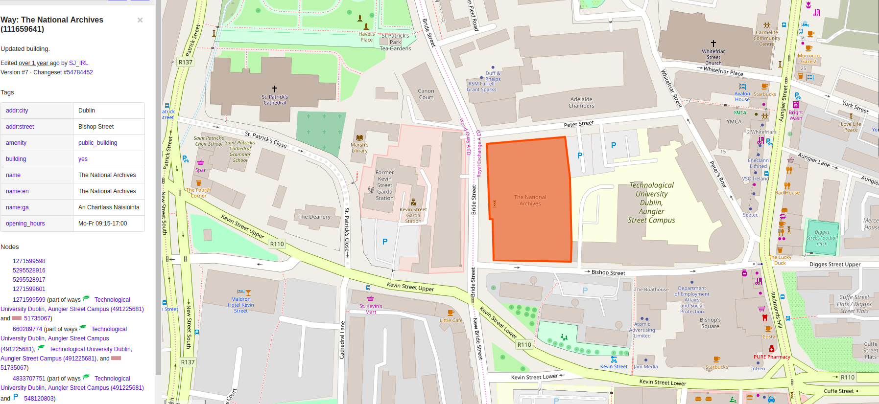
I love the feature of seeing polygon in the OpenStreetMap. Firstly I like to say, I appreciate it:) My question is, is there any possibility extracting the lat-long variables of each corner of the polygon?
|
|
What do you mean by "extracting" exactly? Do you want to get the coordinates of this one building? Then all you have to do is click on the nodes listed on the bottom of the left hand side panel and you see the coordinates there. If you want to do it more regularly you are probably looking for a more automated solution. You have to know that the database does not store coordinates for the polygons. Only references to the nodes that make up the polygon are stored and the coordinates are then stored for the nodes. Click on the download XML links at the left hand bottom of the building's and its nodes' pages and you see what I mean. Depending on your needs and skills you can for example directly query the OSM API, use Overpass Turbo or use JOSM to export the object into a gpx file. |
|
Yes, you have to use an API call for that: |